
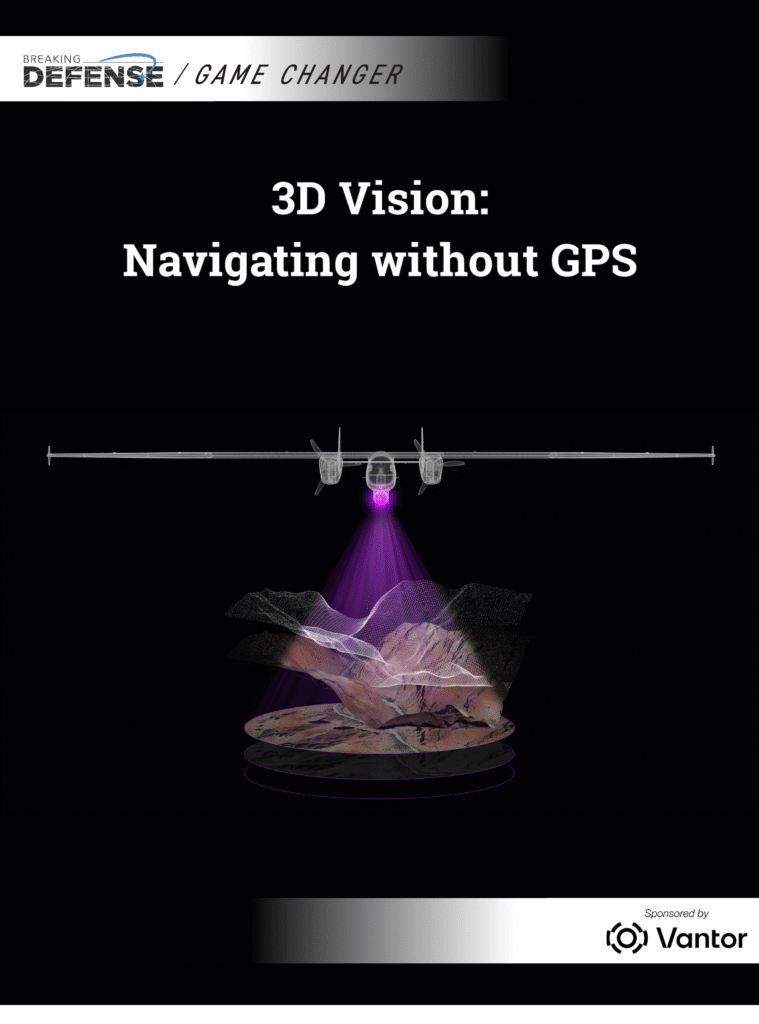
As drones become more valuable for combat, logistics and support operations, adversaries are countering that with intense electronic warfare to contest their ability to navigate via GPS signals.
To combat this, 3D mapping data helps drones determine their absolute position at all times, enabling them to navigate even when they can’t rely on GPS. This Game Changer explores how Vantor’s 3D mapping data can help drones carry out their tasks in contested and denied environments.
No registration needed.
Download FREE Game Changer now.
Drones are utilizing 3D mapping data to navigate effectively in environments where GPS signals are contested. This technology, provided by Vantor, enhances the operational capabilities of drones in combat and logistics scenarios. The reliance on 3D mapping is a response to adversaries employing electronic warfare to disrupt GPS navigation.
- Drones are increasingly valuable for combat and logistics operations.
- Adversaries are using electronic warfare to disrupt GPS signals.
- 3D mapping data allows drones to navigate without GPS.
- Vantor provides 3D mapping data for drone operations.