
2026 China Marine Survey Ship Conducts Mapping Around Taiwan, PLA Underwater Blockade Capability Enters Data Preparation Phase
 Li Minghui
In 2026, China's Ocean Research Vessels Intensify Surveying Around Taiwan, PLA's Underwater Blockade Capability Enters Data Preparation Phase
On November 1, Taiwanese media cited a report from the Wall Street Journal stating that Chinese research vessels are increasing seabed surveying activities in the eastern and southern waters of Taiwan, focusing on the underwater environment that submarines, unmanned underwater vehicles, and underwater communication cables may utilize. The real value of this news lies not in the discovery of a few more Chinese vessels, but in its advancement of military preparations in the Taiwan Strait from 'visible military aircraft and warships' to below the surface of the sea.
What Are the Research Vessels Surveying?
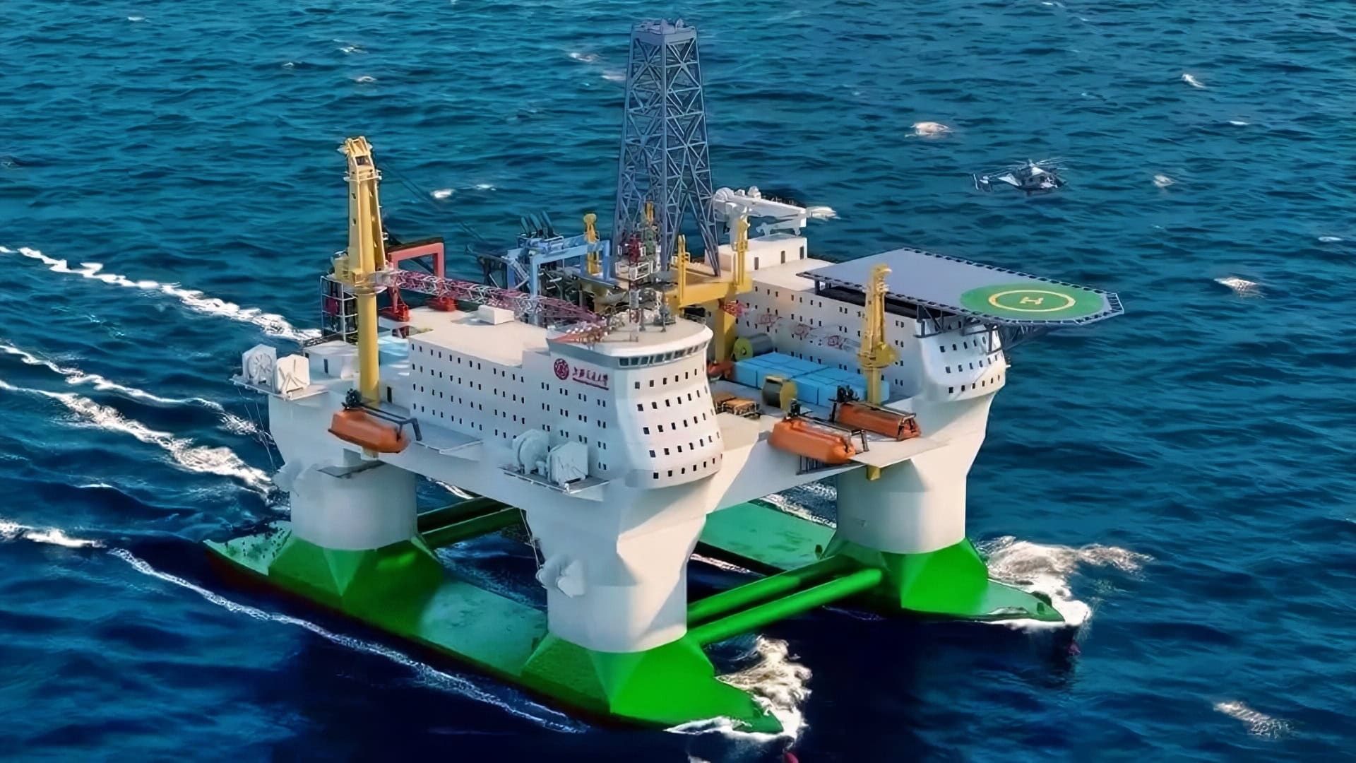
Public reports do not specify the exact models, tracks, and sensor configurations of each vessel, so it is not possible to directly equate all civilian survey activities with military reconnaissance. However, from the task logic, there are roughly three main focuses. The first is water depth, seabed topography, and sediment, which determine where submarines and unmanned underwater vehicles can remain concealed and where they are easily detected by sonar. The second is the temperature and salinity structure and ocean currents in different seasons, which can alter the propagation paths of sound waves and directly affect anti-submarine search distances. The third is the location of underwater cables, landing stations, and key shipping routes; this data can serve both wartime destruction and pressure in blockades and gray zone operations.
Currently, Taiwan has only five vessels primarily engaged in ocean research, with two more added in August. The numerical gap itself does not equate to a wartime capability gap, but it indicates that Taiwan finds it difficult to maintain coverage over the eastern offshore, southern shipping lanes, and key underwater facilities. In simple terms, the underwater battlefield cannot be clearly seen by simply turning on sonar; it requires years of accumulated hydrological databases.
How This Connects to PLA's Landing Preparations
The Taiwan Ministry of National Defense's report on China's military capabilities for 2026, submitted in September, states that the PLA is strengthening its joint landing capabilities and developing new types of amphibious landing craft, unmanned transport helicopters, and battlefield information support systems. The report also mentions that the PLA is attempting to ensure cross-sea operations through space, cyber, and information capabilities. Underwater surveying precisely fills a frequently overlooked gap in this system: it provides baseline maps for submarine blockades, unmanned underwater vehicle reconnaissance, underwater cable disruption, and subsequent mine clearance.
However, this does not mean that the moment a research vessel goes to sea, it signifies a countdown to landing. The assessment from Taiwan also acknowledges that the PLA currently has capability gaps in conducting large-scale joint landings, particularly in sustained resupply, sea and air control, and unloading issues under complex sea conditions. My judgment is that underwater surveying is more like a low-cost, low-visibility long-term investment, serving multiple purposes including war planning, peacetime deterrence, and maritime law enforcement actions during crises.
Shortcomings in Underwater Competition in the Taiwan Strait
On October 31, Taiwan reported that within 24 hours, 13 Chinese military aircraft, 7 warships, and 2 government vessels were detected, with 6 aircraft crossing the median line of the Taiwan Strait. Compared to the daily statistics of military aircraft sorties, the activities of research vessels are harder to define and more difficult to prevent through a single interception operation. They can repeatedly appear under the guise of research, surveying, or freedom of navigation, turning one-time military actions into continuous data production.
What Taiwan truly needs to supplement is not simply adding a few more research vessels, but rather connecting marine research, underwater cable monitoring, naval underwater sensors, and commercial shipping data into a network that can be used for defense. Otherwise, even if it is known that the opponent is conducting surveys, it may not be possible to determine which data has already been collected and which facilities have been exposed.
Unanswered Questions
Currently, public information is still insufficient to prove that these research vessels have completed surveying for a specific military operation. However, if China can piece together the activities of research vessels, coast guard, government vessels, and naval platforms, the blockade of the Taiwan Strait may first manifest in the form of data and administrative orders, rather than starting with missile launches. The real question worth asking is whether Taiwan and the United States can timely identify and protect those underwater targets being surveyed without escalating the conflict.
Source: Taiwan News report on November 1, 2026, and its citation of the Wall Street Journal; Taipei Times' summary of the Taiwan Ministry of National Defense's 2026 China Military Power Report on September 2, 2026; Taiwan News' military dynamics report on October 31, 2026.
Chinese research vessels increased underwater mapping activities around Taiwan, focusing on submarine and unmanned underwater vehicle operations as of November 1, 2026. This effort aims to gather data on underwater environments, which could support military operations. Taiwan's limited research vessel capacity hampers its ability to monitor these activities effectively, highlighting vulnerabilities in its defense posture.
- Chinese research vessels are conducting underwater mapping around Taiwan.
- The focus is on submarine and unmanned underwater vehicle operations.
- Taiwan has limited capability to monitor these activities due to fewer research vessels.
- The mapping supports potential military operations and undersea cable disruption.
- Taiwan's defense report acknowledges gaps in China's amphibious assault capabilities.