
China’s 2026 CCG-4305 Patrol 48 Nautical Miles Off Zambales Tests Philippine Sea Denial
 Marcus Chen
China’s 2026 CCG-4305 Patrol 48 Nautical Miles Off Zambales Tests Philippine Sea Denial
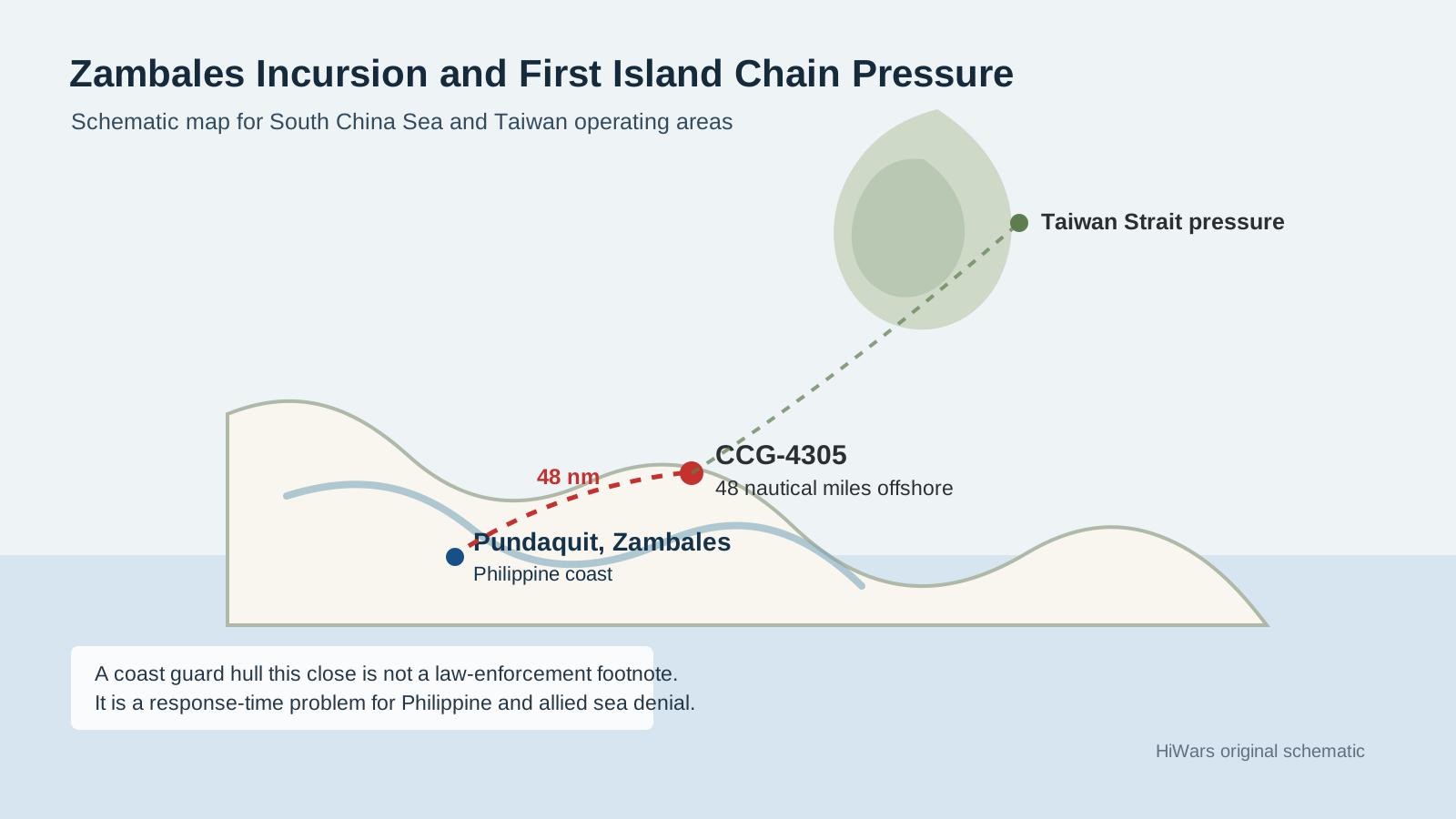
Forty-eight nautical miles is the number that matters. That is how close China Coast Guard vessel CCG-4305 came to Pandaquit, Zambales on May 19 before the Philippine Coast Guard sent a Piper Navajo 302 aircraft and the Parola-class patrol vessel BRP Cape San Agustin to challenge it. At that distance, the issue is no longer an abstract argument about lines on a map. It is a response-time problem.
Philstar, citing the Philippine Coast Guard, reported that CCG-4305 was first flagged by Canada’s Dark Vessel Detection program, visually confirmed west of Pandaquit, and then challenged repeatedly by radio. The Chinese cutter either ignored the calls or gave no lawful basis for its presence inside the Philippines’ exclusive economic zone. A follow-up report said the ship was still the subject of aerial and maritime challenges two days later, about 48 nautical miles west of Pundaquit.
Anyone who has stood a bridge watch knows what that means. A ship moving at 15 knots covers 48 nautical miles in a little over three hours. At 20 knots, it is less than two and a half. The Philippine response was correct, but the geometry is ugly. A coast guard hull that can loiter this close to Zambales is close enough to test Manila’s reaction cycle, map its patrol patterns, and make the next incursion look normal.
The Zambales Patrol Was Part of a Wider Pattern
The CCG-4305 episode did not happen in isolation. The same week, Philippine reporting described a Chinese research vessel, Xiang Yang Hong 33, operating around Pag-asa Island, with Chinese maritime militia vessels scattered around Sandy Cay 3 and Sandy Cay 4. Earlier in May, GMA News reported that the Philippine Coast Guard had tracked four Chinese research ships operating without Manila’s consent around Philippine waters, including Xiangyanghong 33, Shi Yan 1, Jia Geng, and Zhuhaiyun.
Those names matter because these are not fishing boats with flags painted on the hull. GMA’s account described Xiangyanghong 33 as a deep-sea survey vessel capable of seabed mapping and submersible support, Shi Yan 1 as a SWATH-hulled research vessel with hydro-acoustic systems, Jia Geng as a deep-sea research ship with acoustic sensors and unmanned underwater vehicle capacity, and Zhuhaiyun as a drone mother ship designed to operate aerial, surface, and underwater unmanned systems.
That is the seam between maritime law enforcement and military preparation. Hydrography, acoustic collection, and seabed survey work are useful for science. They are also useful for submarine operations, undersea sensor placement, mine warfare planning, and cable-route knowledge. When these vessels operate alongside coast guard and militia hulls in another state’s exclusive economic zone, the operational question is not whether the hull is painted white. It is what information the deployment collects and what coercive behavior it normalizes.
China Is Compressing Manila’s Decision Space
Manila has one obvious advantage: legitimacy. The 2016 arbitral ruling rejected China’s expansive South China Sea claims, and the Philippines has been disciplined in framing these incidents around sovereign rights, the Maritime Zones Act, and the United Nations Convention on the Law of the Sea. That matters diplomatically. It does not, by itself, move a cutter.
The military problem is density. The Armed Forces of the Philippines reportedly tracked 15 People’s Liberation Army Navy warships and 20 China Coast Guard vessels at four features from May 4 to 11, most of them near Scarborough Shoal. If Manila must answer every intrusion with a scarce aircraft sortie and a scarce patrol vessel, Beijing can impose the tempo cheaply. One Chinese hull inside the EEZ is a patrol. Twenty-plus hulls across multiple features become a scheduling attack against Philippine maritime domain awareness.
This is why the Zambales location matters more than the hull number. Zambales sits near Subic Bay and points toward the central Luzon coast, not some far outpost on the western edge of the Spratlys. A Chinese coast guard cutter there forces Manila to decide whether to treat the event as routine harassment, an intelligence-gathering run, or a rehearsal for a larger exclusion pattern around Scarborough Shoal and the approaches to Luzon.
There is a Taiwan connection too. On May 25, Taiwan’s Ministry of National Defense reported 9 PLA aircraft, 7 PLAN ships, and 1 official ship around Taiwan, with 8 of the 9 aircraft entering Taiwan’s southwestern and eastern air defense identification zone. Those numbers are not dramatic by 2026 standards, but they show the operating rhythm. Beijing can keep pressure on Taiwan while maintaining coast guard and survey activity in the West Philippine Sea. The first island chain is being pressured as a chain, not as separate local disputes.
Balikatan Showed the Answer and the Gap
The good news for Manila is that the alliance is no longer pretending patrol boats alone can solve the problem. Balikatan 2026 put real coastal-defense firepower into northern Luzon. USNI News reported that Japanese Type 88 anti-ship missiles, U.S. Marine Corps NMESIS, U.S. Army HIMARS, MQ-9 Reaper feeds, Japanese ScanEagle drones, Philippine Marines, and allied naval units were tied into a maritime strike event that sank the former Philippine Navy corvette BRP Quezon about 46 miles off northern Luzon.
That is the right direction. The South China Sea problem is not solved by matching China cutter for cutter. It is solved by making the coercive layer vulnerable to escalation control. If Beijing uses white hulls to create facts at sea, Manila and its partners need surveillance persistence, legal documentation, and credible land-based fires that make any gray-zone screen a poor shield for naval operations.
But there is a hard limit. Anti-ship missiles deter warships; they do not automatically manage daily coast guard pressure. A Type 88 launcher, NMESIS battery, or HIMARS platoon is not a traffic cop. It is a wartime or crisis tool. The routine layer still depends on aircraft availability, patrol endurance, communications discipline, and enough hulls to prevent China from choosing the time and place of every encounter.
The United States and Japan can help here, but the most useful assistance may be less glamorous than another missile photo opportunity. Manila needs more persistent uncrewed surveillance, more coastal radar integration, more maintenance support for patrol vessels, and a faster common operating picture that connects Philippine coast guard sightings to allied military sensors. The point is not to turn every CCG approach into a missile crisis. The point is to deny China the luxury of operating unseen until it is already 48 nautical miles from the coast.
The Test Is Normalization
CCG-4305 did not have to fire a shot to achieve something useful for Beijing. If the next patrol comes 45 nautical miles out, then 40, then 35, the map changes in practice before it changes on paper. China’s method is usually incremental because incremental moves force the other side to decide when a pattern becomes an emergency.
That is why Manila should treat the Zambales patrol as a baseline, not an oddity. Every future Chinese cutter inside that arc should be logged, challenged, filmed, and mapped against previous tracks. Every survey ship should be treated as an intelligence collection platform until proven otherwise. And every allied exercise in northern Luzon should be judged by one standard: does it shorten the time between detection, decision, and a credible response?
The law is on Manila’s side. The distance is not. Forty-eight nautical miles off Zambales is close enough to make the next crisis arrive before the next press statement is drafted.
Chinese Coast Guard vessel CCG-4305 patrolled 48 nautical miles off Zambales on May 19, 2026, prompting a response from the Philippine Coast Guard. The incident is part of a broader pattern of Chinese maritime activity, including the presence of multiple vessels in Philippine waters. This situation raises concerns about sovereignty and the normalization of Chinese incursions into contested areas.
- CCG-4305 approached within 48 nautical miles of Zambales on May 19, 2026.
- Philippine Coast Guard responded with aircraft and patrol vessel.
- Chinese vessels were reported operating in Philippine waters without consent.
- The presence of multiple Chinese vessels indicates a pattern of increased maritime activity.
- The situation reflects ongoing tensions in the South China Sea.