
China's Yuan Wang Ships Are Building a 2026 Undersea War Map
 Marcus Chen
China's Yuan Wang Ships Are Building a 2026 Undersea War Map
China is not waiting for a submarine war to learn where the Pacific is quiet. Its research and special-mission ships are doing that work now. A November report by Asia Times, drawing on Janes reporting, describes a widening Chinese survey effort reaching the Indian Ocean, Bay of Bengal, waters near Guam and the Malacca Strait. The important point is not that every oceanographic vessel is a disguised warship. It is that Beijing is accumulating the environmental data that makes its naval force more useful in a crisis.
The Fleet Behind the Survey
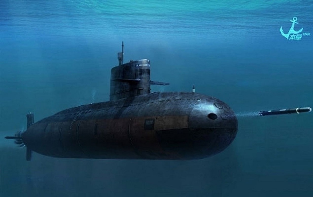
The vessels involved are not a single new class. They are a network. The missile-tracking ships Yuan Wang 5, Yuan Wang 6 and Yuan Wang 7 bring large antennas and long-range collection experience. The survey ship Xiang Yang Hong 06, the low-noise Dong Fang Hong 3, the blue-water research vessel Shi Yan 6 and the submersible support ship Shen Hai Yi Hao add different sensors and operating patterns. The 7,000-meter-rated Jiaolong deep-sea submersible extends the system below the surface.
That mix matters. A tracking ship can collect missile telemetry. A survey hull can run bathymetric grids, take seabed cores and measure acoustic propagation. A submersible can inspect terrain and infrastructure at depths ordinary naval units cannot reach. None of those missions, by itself, proves preparation for attack. Together they create a database of routes, sound conditions, seabed strength and cable locations that a submarine commander would rather have before the shooting starts.
Why the Data Is a Weapon
Submarines do not operate in an empty blue ocean. Temperature layers bend sound. Bottom composition changes how sonar behaves. Narrow passages create predictable traffic and hiding places. Cables, ridges and deep-water approaches determine where a boat can move, wait or deploy an unmanned system. The best chart for navigation is not necessarily the best chart for finding another submarine.
That is why a peacetime acoustic baseline has military value even when the survey ship carries no torpedoes. The October CSIS analysis argues that Chinese state-owned academic research ships operate as dual-use gray-zone tools under military-civil fusion. The November USCC annual report similarly links Chinese hydrographic surveys to sensor siting, submarine routing and the PLA's effort to make waters inside the First Island Chain less permissive.
Beijing does not need a perfect “transparent ocean.” It only needs to raise the uncertainty and cost for US and allied submarines while improving its own confidence. That is a much cheaper objective than matching the United States boat for boat.
The Cable Problem Is Worse Than the Submarine Problem
Seabed mapping also creates options below the threshold of war. A September report on trans-Pacific cables warns that dual-use deep-sea systems could support covert disruption around Taiwan and the Pacific. The effect would not be limited to internet inconvenience. Cable damage would strain command networks, intelligence sharing, financial transactions and the logistical coordination needed to reinforce the First Island Chain.
Taiwan is particularly exposed. A CNAS study says Taiwan relies primarily on 15 international undersea cables, with outlying islands often depending on only one or two domestic links. Taiwan also lacks its own repair vessel. Satellite communications can provide a fallback, but not the bandwidth or resilience of a dense fiber network.
This is where civilian cover becomes operationally useful. A fishing vessel or research ship can approach infrastructure with a plausible explanation, collect data repeatedly and force a potential adversary to choose between constant surveillance and accepting blind spots. Attribution after a cable break is politically harder than detecting a missile launch.
China Is Still Buying Capability, Not Certainty
The limits are real. Survey data must be processed, fused and updated. Ocean conditions change. A quiet research ship is not automatically a capable anti-submarine warfare platform, and a mapped cable is not a cable already cut. China also has to protect its own submarines from the US undersea force.
But the scale of the naval buildup makes the survey effort more consequential. In March testimony, Rear Adm. Mike Brookes told the USCC that China had more than 60 submarines, including six nuclear-powered attack submarines, at least two nuclear-powered guided-missile submarines, six ballistic-missile submarines and more than 50 diesel-electric boats. He projected roughly 70 boats by 2027 and about 80 by 2035, with the nuclear share rising.
The numbers do not mean that China can control the Pacific. They mean that every new submarine enters a force increasingly supported by environmental intelligence collected long before deployment. The United States has more experience in undersea warfare; China is narrowing the information gap in the geography where that experience would be tested.
The Strategic Choice
Washington and its allies should treat Chinese survey activity as part of the undersea balance, not as a separate scientific story. That means persistent tracking of dual-use vessels, better sharing of acoustic and cable intelligence, repair ships positioned near likely trouble spots, and more distributed communications for Taiwan and the Philippines.
It also means resisting the temptation to declare every survey mission an act of war. Overreaction would give Beijing the diplomatic conflict it wants and make lawful scientific activity harder to distinguish from coercion. The answer is disciplined exposure: document the pattern, protect the infrastructure and make the military consequences of interference unmistakable.
China's Yuan Wang ships and research fleet are not yet a substitute for attack submarines. They are something more practical: the survey layer that makes submarines, sensors and gray-zone operations work better. The undersea contest is already underway. The side that owns the map will not automatically win, but the side that ignores the map will start the crisis at a disadvantage.
China is conducting extensive hydrographic surveys in the Indian Ocean, Bay of Bengal, Guam, and Malacca Strait to enhance its naval capabilities by gathering environmental data. The Chinese Navy operates a network of vessels, including missile-tracking ships and deep-sea submersibles, to support these efforts. This strategic initiative aims to create uncertainty for US and allied submarines while improving China's own operational confidence.
- China is expanding its hydrographic survey efforts in the Indian Ocean, Bay of Bengal, Guam, and Malacca Strait.
- The Chinese Navy operates a network of survey and research vessels, including missile-tracking ships and deep-sea submersibles.
- China aims to gather environmental data to enhance its submarine operations and create uncertainty for US and allied forces.
- Taiwan is particularly vulnerable due to its reliance on undersea cables and lack of repair capabilities.
- China's naval buildup includes over 60 submarines, with projections for further increases by 2027 and 2035.