
Spanish autopilot maker taps satellite signals for drones
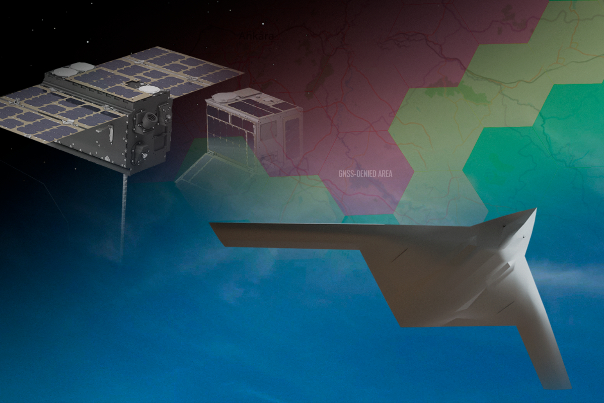
Spanish drone autopilot maker UAV Navigation-Grupo Oesía is working with the European Space Agency on a way for military drones to navigate using signals from low Earth orbit internet satellites when GPS and other satellite navigation signals are jammed, spoofed or unavailable, the company said on October 8.
The research is funded by ESA’s NAVISP Element 2 program, which supports European navigation technology projects. The company did not disclose the value of the funding, the project’s timeline or when the technology could reach operational drones.
The idea is to use satellites that were never designed for navigation. Broadband constellations in low Earth orbit transmit powerful communication signals, and the project aims to extract position and navigation data from them, particularly in the Ka-band, so a drone can still work out where it is when GNSS signals such as GPS or Galileo are degraded or denied. In the industry, such borrowed signals are known as signals of opportunity.
UAV Navigation’s part of the work is to feed this satellite-derived data into its autopilot. The autopilot’s navigation software will combine it with inertial sensors, air data, GNSS when available and camera-based navigation to estimate the aircraft’s position. The company says this approach is meant to keep a drone on its mission in contested airspace, particularly during beyond-line-of-sight flights for defense, security and intelligence, surveillance and reconnaissance work.
A central element is drawing position estimates from the multibeam, electronically steered antennas that drones would need to communicate with new broadband constellations such as the European Union’s planned IRIS² network. The company says these highly directional antennas are inherently harder to jam or spoof than the omnidirectional antennas used for standard GNSS reception.
Inster-Grupo Oesía, another company in the group, leads the consortium. It also includes the Catalan research center CTTC and engineering firm SICWAVE.
IRIS² is the EU’s planned secure communications constellation for government, defense and emergency users. Under an implementation agreement signed in August 2026, it is set to comprise 348 satellites, including 330 in low Earth orbit and 18 in medium Earth orbit, with first launches planned for 2029 and services starting from 2030.
UAV Navigation, which has built guidance, navigation and control systems for unmanned aircraft since 2004, is part of Grupo Oesía, a Spanish engineering group that says it employs about 4,000 people and works on avionics for European programs including the Eurofighter, A400M, Eurodrone and the Future Combat Air System. UAV Navigation already markets autopilots designed to keep flying in GNSS-denied conditions and has been selected as a technology provider for the European Defence Fund-backed VANTAGE drone project.
Content preview only. Full article available at source. View Full Article
UAV Navigation-Grupo Oesía is developing a navigation system for military drones that utilizes signals from low Earth orbit satellites, announced on October 8. This technology aims to ensure drone operation in contested airspace when traditional GPS signals are unavailable. The project is funded by the European Space Agency's NAVISP Element 2 program and involves advanced satellite-derived data integration into autopilot systems.
- UAV Navigation is collaborating with the European Space Agency on drone navigation technology.
- The project aims to use signals from low Earth orbit satellites for military drones.
- The technology is intended for use in contested airspace during beyond-line-of-sight flights.
- The project is funded by ESA’s NAVISP Element 2 program.
- UAV Navigation has experience in developing autopilot systems for unmanned aircraft.